Gran Canaria Hike #5 (part 1): Tejeda to Pico de las Nieves
I am heading to the top of the island today and then staying in a new location closer to Las Palmas as I make my way back home.
I took a short transfer to La Culata to begin a hiking trek which took me up and over La Cumbre toward the green north of the island. Ascending up to Roque Nublo, I followed the ridge enjoying views to Gran Canaria’s highest peak, Pico de las Nieves.
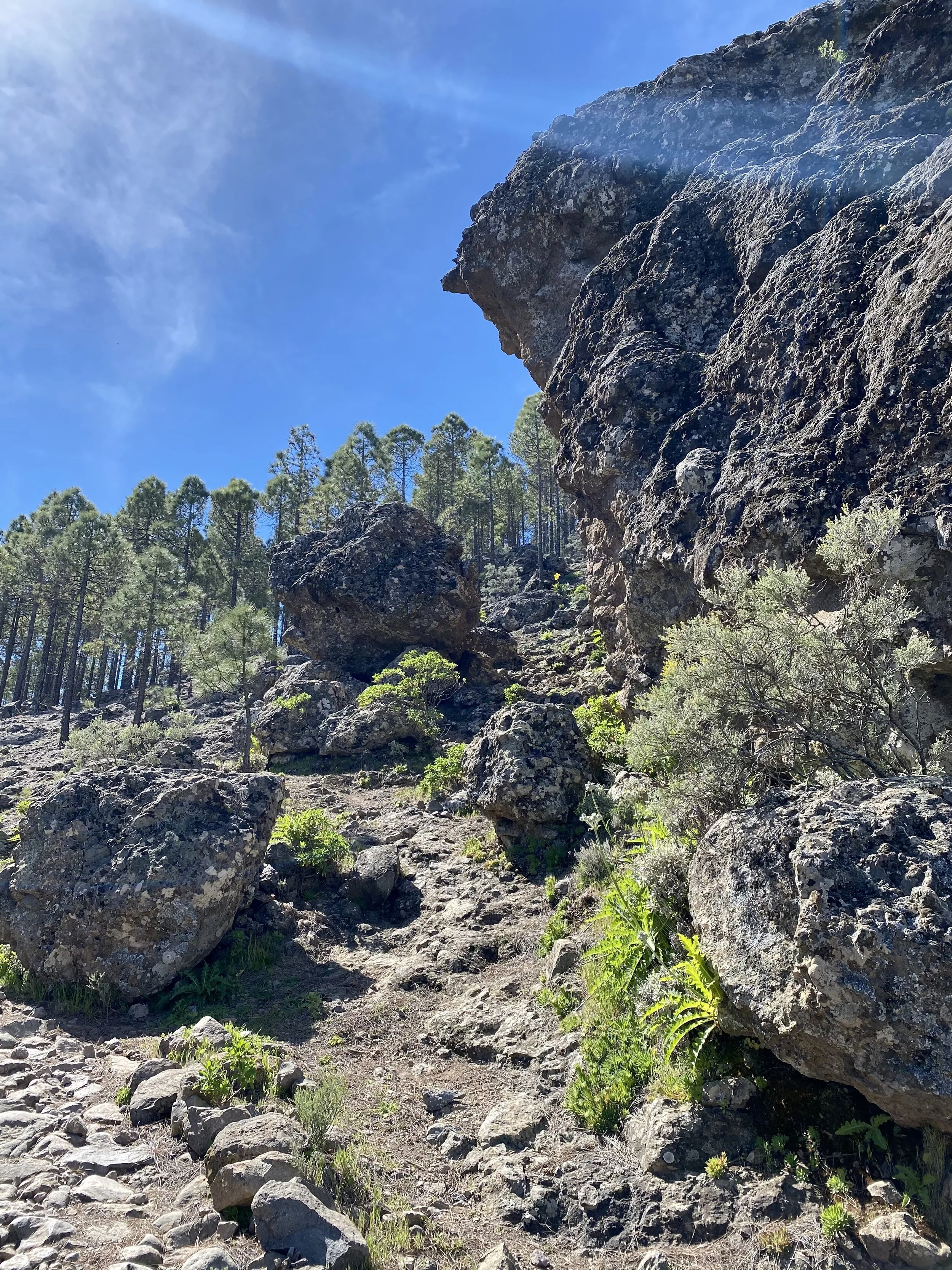
My hike up the mountain went through the endemic Canarian pine forest, including the area that was severely damaged in a 2019 forest fire. It was heartening to see the resilience of nature, as the wildflowers were in full bloom and the pine trees with their blackened trunks were regrowing green branches from their tops. I made it to the top of the island. Pico de las Nieves, which is the 2nd highest peak on Gran Canaria with an elevation of 1,949m/6,394ft and right next to it is the Morro de la Agujereada at 1,956m/6,447ft, the highest point on the island.
The summit is part of both the rims of Caldera de Tejeda to the west and the Caldera de Tirajana to the south.
The clouds rolled in below me as I was hiking yet I still had great views from Pico de las Nieves including Roque Nublo, "Cloud Rock" ( 1,750m/5,741ft) which is often shrouded by clouds, it’s said to be a “mystical fog.” I also had views all the way to Teide volcano on Tenerife on the horizon rising above the clouds.
AND how lucky am I? There was a food truck waiting for me up there where I could get a cerveza to go with the bread and cheese I packed in with me.
Trip distance
12.5 mi/20 km
Duration
6 hours 30 Minutes
Ascent
3061 ft
Descent
3678 ft
Lowest elevation
3360 ft
Highest elevation
6299 ft


