Gran Canaria Hike #2: Firgas-Barranco Azuaje-Firgas
So I had a total “Edge of Tomorrow” day today hiking. (Love that movie)
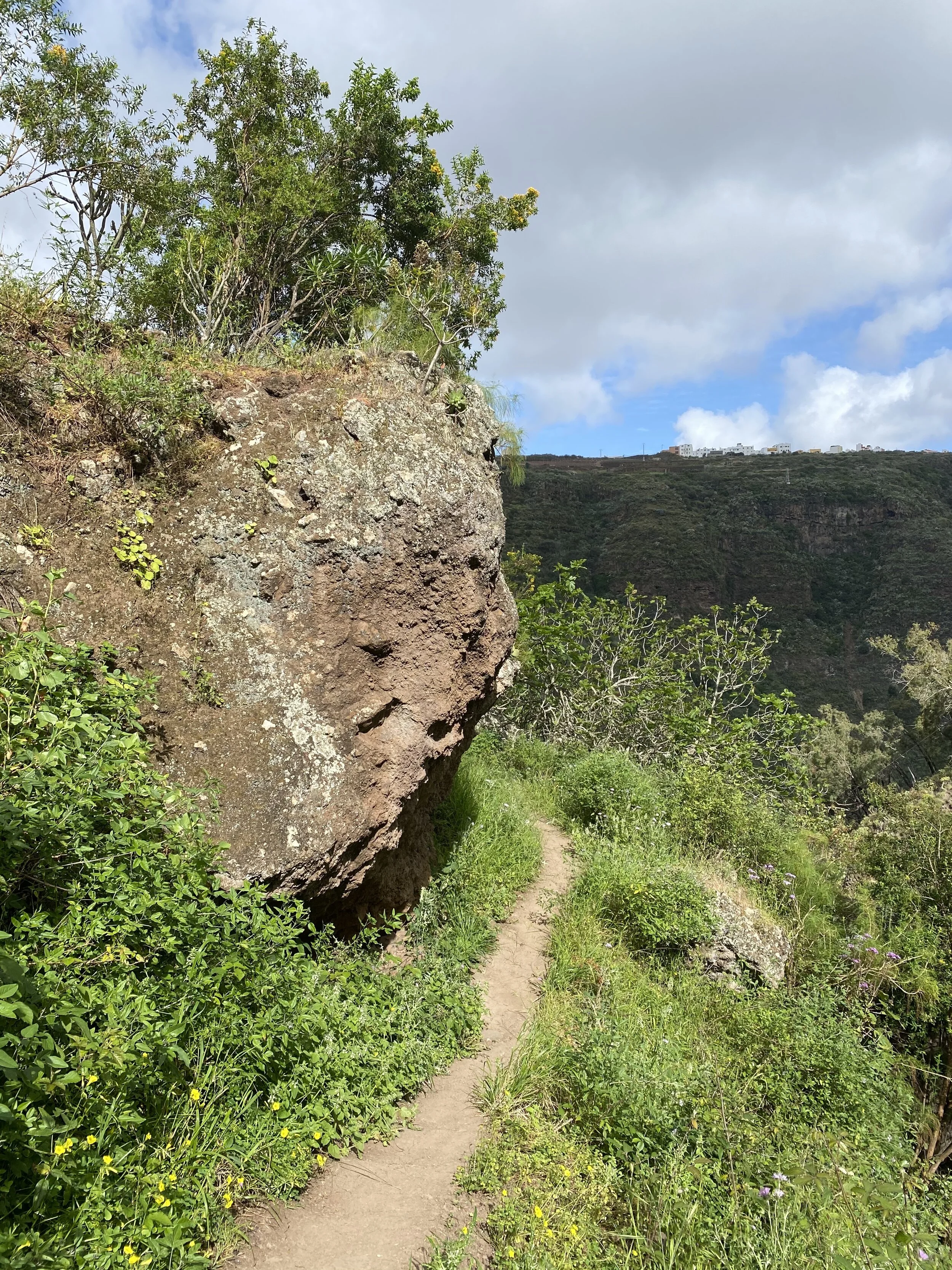
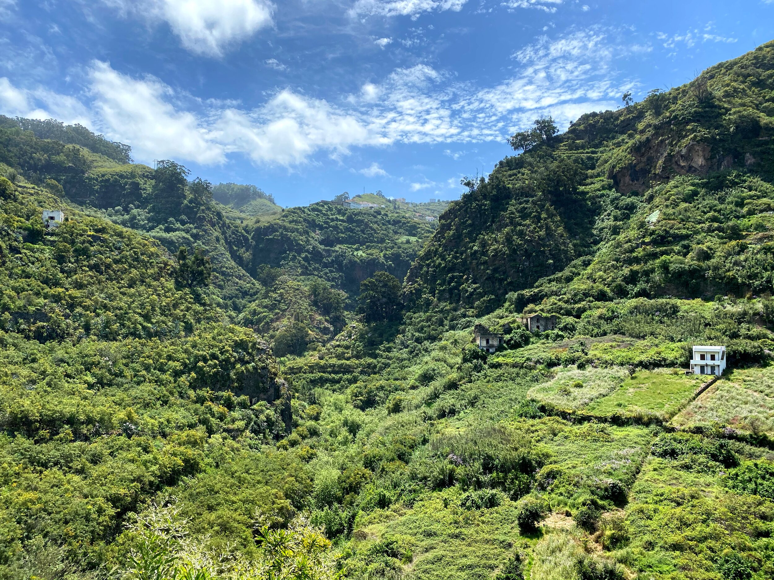
Today’s trek started in a completely different part of the island. I left the north west coast of Gran Canaria and headed towards the center/north. I was dropped in the beautiful village of Firgas to start and end my circular hike down into the Barranco Azuaje (ravine). You will see the terrain is very different here, the barranco is protected as a Special Nature Reserve due to its unique laurel woods. (“laurisilva”)
It was fairly hard hiking for my already sore legs. 1.5 hours of steep downhill into the gorge directly to a 1 hour steep uphill to the other side. Then a bit flat then steep down and steep up. At some point I ended up crossing a river on logs then followed the only obvious path I could see. In the gorge my GPS wouldn’t work yet I knew this hike included warnings of some bouldering with ropes and crossing the river on logs. I ended up doing a bit more rock climbing than expected and there were no ropes. Steep for sure. Lots of scrambling.
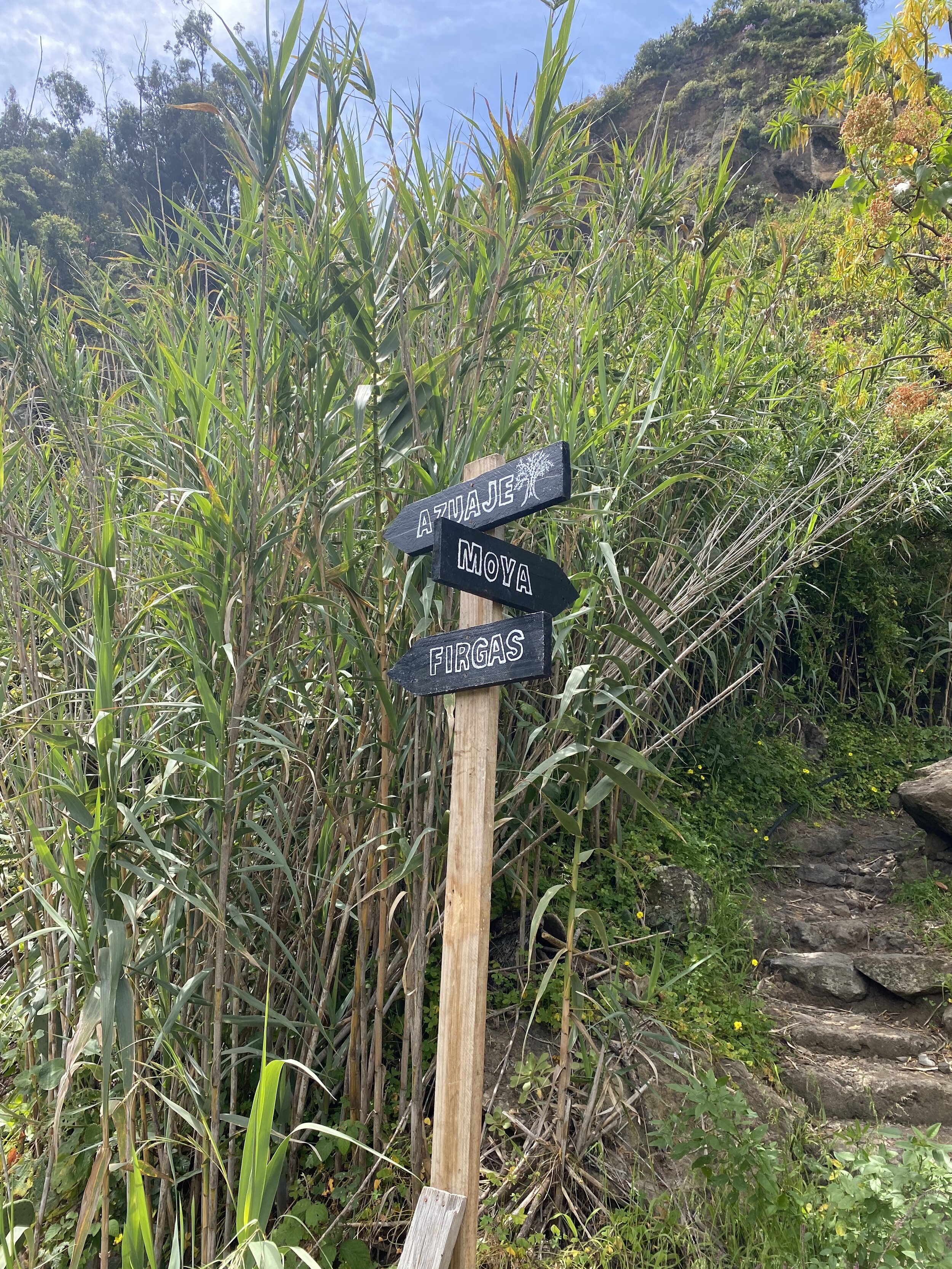
The trail kept going in a steep up and up until I found myself at a signpost I thought I recognized. And I had the pictures to prove it. I either did a big circle and ended up at a place I’d already been OR I fell and died on the rocks and “restarted”** at the same signpost I was at before. I’m going with option #2. (**This is my Edge of Tomorrow movie reference here... for those who don’t know it think of a Ground Hogs Day super sci-fi with Emily Blunt, aliens, and war and death that causes a restart)
I was just a bit cranky about this restart, I’m not gonna lie! I then had to do the same darn steep downhill and find a new way up and I had a 4:30pm transfer to catch to a new overnight location. Good grief! I did figure it out and even found a shortcut to town where I had time for a cerveza and still caught my ride to my new village in the very center of the island that I am basing out of for my next few hikes...Tejeda.
Total so far: 30 km/18 mi, 2 days
Firgas
Firgas is a darling town situated 25 kilometres from the capital of the island and lies at an altitude of 465 metres above sea-level. In the Plaza de San Roque, you will find the Parish Church of San Roque, constructed over the ruins of what was the first Hermitage of San Juan Ortega, built in 1502. You will also find the monument to San Juan de Ortega, first patron saint of the municipal town. The building of the House of Culture is probably the most emblematic in the municipality.


The Gran Canaria Walkway and the Canarias Walkway, in the town centre, previously formed the Central High Street (Calle Real del Centro). These pedestrian walkways have a natural incline which has served to construct a beautiful 30 metre long quarry stone cascade terminating in a beautiful monument. To one side of the walkway 22 coats of arms, which represent all the municipalities of Gran Canaria, as well as the coat of arms of the island, have been placed. Up the middle of the Canarias walkway are 3D maps of all the islands.


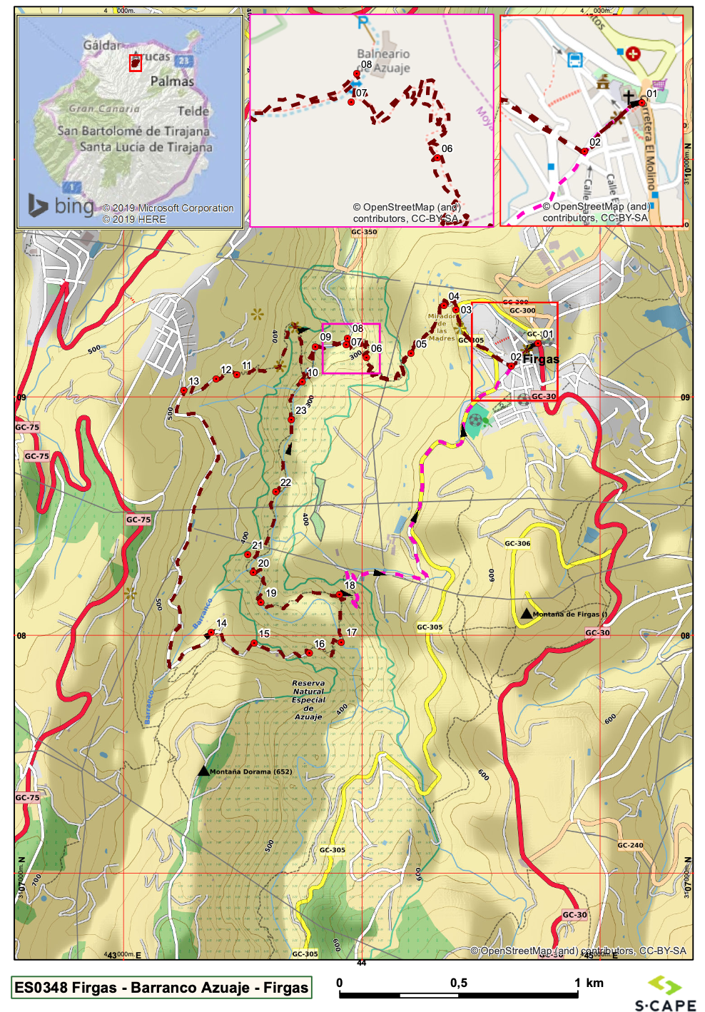
Firgas-Barranco Azuaje-Firgas
This route follows a beautiful “barranco” from Firgas and offers lovely views over the gorge. I mainly followed footpaths, with two sections on tarmac (3,5 km split up into 2 stretches). As referenced above, halfway through the route there is an adventurous section at the bottom of the barranco, with a bit of scrambling over rocks and crossing the river on stumpsor reeds. There are also (apparently) 2 sections where you have to scramble down or up a bit with the aid of a rope. I missed this section due to lack of GPS. The instructions do say If you want to avoid this section, then GO RIGHT*** for the shortcut back to Firgas (approx 2 km).
***THIS IS ALSO THE ONLY DIRECT WAY OUT IN CASE OF SUDDEN HEAVY RAINFALL AND UNSUSPECTED HIGH WATER
IMPORTANT. As always, check the weather forecast before you set off. When walking in a gorge during (or after) a storm/ heavy rain, the risk of flash floods and high water may be a concern.
Ascent 2234 ft
Descent 2234 ft
Lowest elevation 896 ft
Highest elevation. 1745 ft