Austria: Hiking Dobratsch Nature Park
Austria Day 2: AWESOME Day hiking in Dobratsch Nature Park
Mid-September hiking can include unpredictable weather so I packed for the all of all of it. Turns out, we were gifted with spectacularly summer-like weather. Warm temperatures (mid 20’s c/mid 70’s f) and sunny skies.
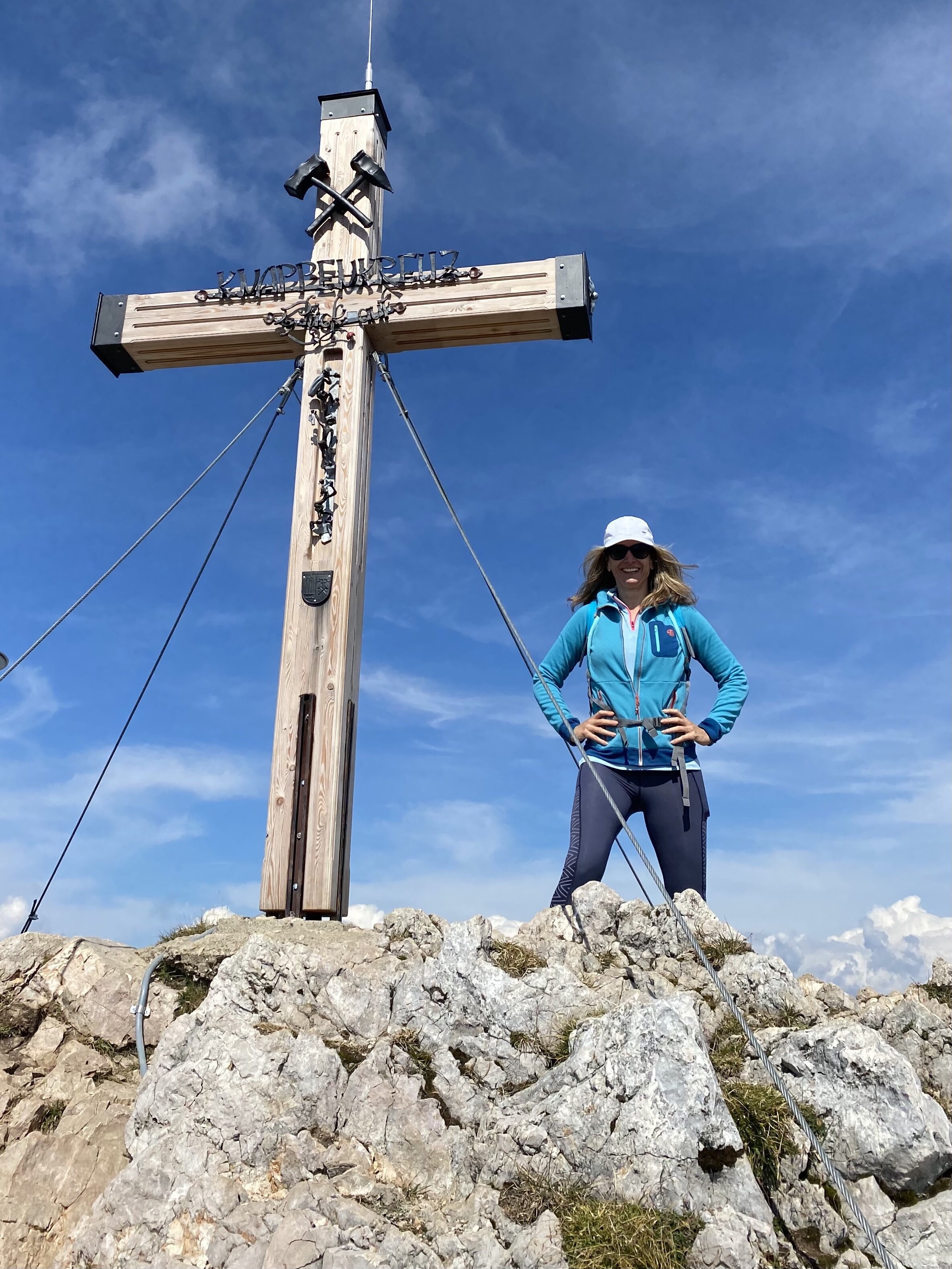
Hiking Highlights: For todays hike we headed to Dobratsch Nature Park. We started out at the Berggasthof Aichingerhütte at 1650 m/5413 ft and hiked to Dobratsch Gipfel (Dobratsch summit plateau) at 2167 m/7110 ft.
One breathtaking view chases the other all the way to the top!
We took the Villach Alpine toll road in, which costs 19 euro to drive, and has a number of parking lots with lookout points to stop and explore. Our first stop was the Alpengarten at car park 6 at an altitude of 1,483 m (4,865 ft) - with a lookout platform “Rote Wand” with views of the rockslide area as well as the corner where the Alps from Italy, Austria, and Slovenia all meet. Our intention was to hike the Alpengarten but we found it closed for the season. It’s only open for 4 months of the year.
We drove on to park and start our hike at the Aichingerhütte at car park P8, 1,650 m (5413 ft). This hütte has a lovely sun terrace, café and accommodation AND it was open.
**Tip: you will find the Nature Park information point with the exhibition “Rulers of the Skies - Bird Life in the Dobratsch Nature Park” here. 120 types of birds brood at Dobratsch nature park and more than 1,400 butterfly species have been counted.
At the top of the mountain is Dobratsch summit house, 2,143 m (7,031 ft). Great outdoor terrace which is all I can vouch for because the summit house was closed for the season. Luckily we brought our own cheese, bread, chocolate, and red wine so it was a nice place to sit and bask in the beauty and celebrate our climb.
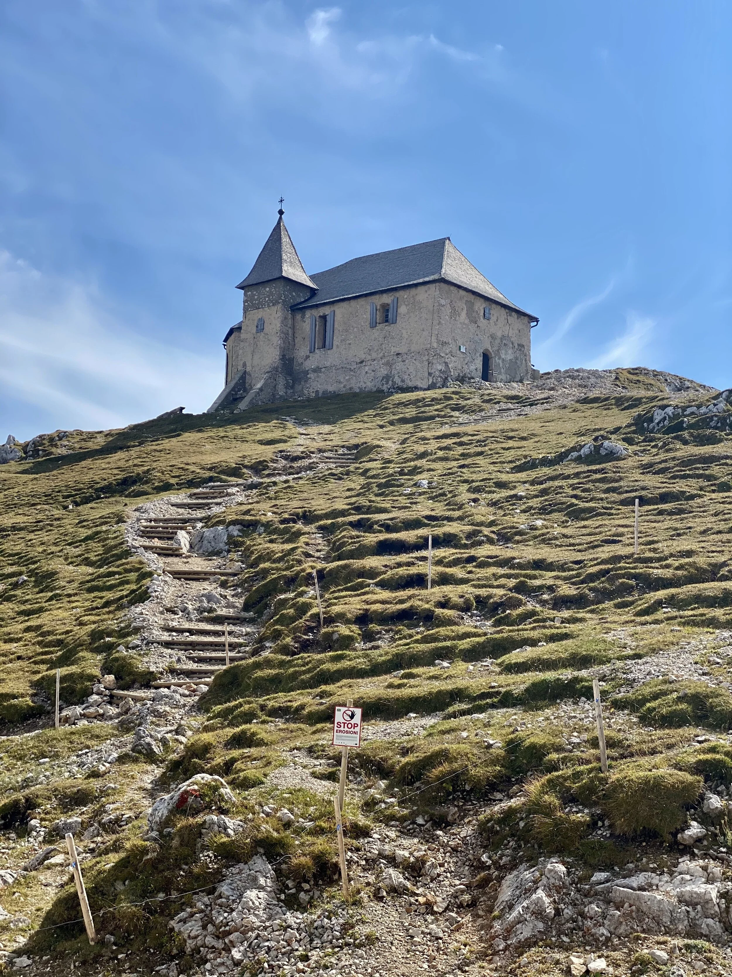
The highest church in Europe sits at the peak and served as a beacon letting us know just how far we still had to climb before reaching the summit.
The miners' church "Maria am Stein" has stood the test of time, wind, and weather on the 2167m (7110 ft) high mountain since 1692. And as if having one church built this high up wasn’t enough...they built two. 300m (984ft) away, the “Windische Kirche” sits precariously perched on the edge of the mountain slope. Legend has it that a noble lady had the chapel built after an apparition of Mary.
The hike took us through meadows, alpine forests, and all sorts of beauty all along the way. It was the perfect start to our hiking adventure!! We didn’t need to be reminded to “Be Happy” yet loved the mountain reminding us of its magic!!
About the area
The Dobratsch is Villach’s landmark mountain, beloved and treasured by the locals. The Dobratsch, also called Villacher Alpe, dominates the landscape – not just because it serves as the region’s drinking water and thermal water storage, but also because it has bound many emotions as an ancient mountain pasture and pilgrimage destination for generations. Culture and nature go hand in hand on and around the Dobratsch.
After mining on the Dobratsch ceased to be profitable, the idea of creating a new concept of use for the Dobratsch arose in the 1980s. This thought gained new momentum in 1997 when Villach was given the distinction “1. Alpenstadt des Jahres” (Eng. “Premier Alpine City of the Year”). The topics “protection areas in city proximity” and “sustainable use” took centre stage. During the 1990s, there still was a ski region on the Villacher Alpe. Artificial snowing was impossible due to drinking water protection. Alternative ideas were necessary. The nature park project was reconsidered and confirmed as Carinthia’s first nature park by the local government on 24 September 2002.


