Slovenia: Triglav 7 Lakes Valley Hike
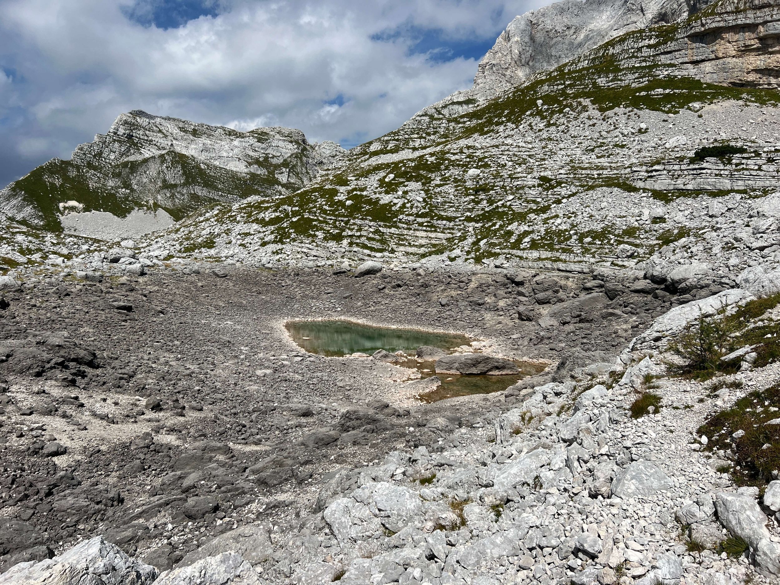
Triglav Lakes Valley is an alpine glacial valley in Triglav National Park in the Slovenian Julian Alps. The valley takes its name from Slovenia’s highest peak, Mount Triglav, the most beloved mountain in Slovenia. Famed for its string of seven lakes, this pristine valley is also called the Seven Lakes Valley. Similar to many parts of Europe, Slovenia is facing a drought right now which has become severe, and this was very obvious on our hike. The lakes that were still existent were still beautiful, yet they were also very low on water.
The Triglav 7 Lakes Valley hike is said to be one of the most beautiful hikes in the region. All along the way, the hike goes through pine forests, past local farms, numerous lakes, mountain huts, plenty of greenery, areas above timberline of all white rock, and we were awarded with stunning mountain views all along the way. We covered 27.3 km/17 mi of distance and had an elevation gain of 1490 meters/4888 feet. Many people do this loop in 2 days, we decided to do it all in 1. It is a LOT for 1 day, start early & have a good pair of boots!
This is probably the hardest hike I’ve ever done. I’ve hiked trails this hard, and I’ve hiked trails this long, I’ve just never hiked a trail this hard for this long. The majority of the trail was rocks. Big rocks, little rocks, medium rocks, and my least favorite…steep downhills on scree…tiny rocks that slide very easily. I fell flat on my butt 3 times and caught myself another 1/2 dozen. You have to by hyper vigilant to choose each step, and after doing that for hours and hours, 10 solid hours of hiking to be exact…it takes a toll. We also had a time crunch as we were pushing to finish by dark. The sun set an hour before we finished but there was just enough light for us to make it through the final portion of the trail. We got to our car just as it hit complete darkness.
Whew…what an “all of all of it” day!!
Trailhead: Planina Blato | Loop Trail
Distance: 27.3 km / 17 mi
Time Needed: 10 hours of hiking plus breaks = 12 hours total
Elevation Gain: 1490 meters / 4888 feet
Highest Altitude we crossed: 2,274 meters / 7461 feet
Insider tips to think about. First, drive to Stara Fužina, an alpine village located on the eastern-end of Lake Bohinj. From Stara Fužina, drive 8.2 km (20 minutes) to the trailhead, Planina Blato. You will have to pay a fee to access the mountain road into the park, you get a ticket going in and pay on the way out The machine takes credit cards. There is a parking lot near the trailhead but it fills up quickly and you may have to park on the side of the road. This can fill up as well. Again…start early! There are huts all along the way to refresh water and use the facilities and even some serve food and refreshments. That said, there is a long stretch from the 2nd hut to the 3rd if you are doing the loop counter clockwise, about 3.5 hours so fill up on your water.


